What is GIS?
A framework to organise, communicate, and understand the science of our world.
What is GIS?
A framework to organise, communicate, and understand the science of our world.

How GIS Works
Who uses GIS?
Modern GIS is about participation, sharing, and collaboration.
Who uses GIS?
Modern GIS is about participation, sharing, and collaboration.
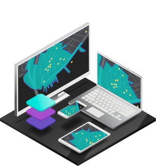
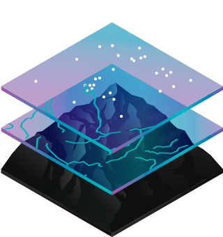
A geographic information system (GIS)
A framework for gathering, managing, and analysing data. Rooted in the science of geography, GIS integrates many types of data. It analyses spatial location and organises layers of information into visualisations using maps and 3D scenes. With this unique capability, GIS reveals deeper insights into data, such as patterns, relationships, and situations—helping users make smarter decisions.
What is GIS:
Hundreds of thousands of organisations in virtually every field are using GIS to make maps that communicate, perform analysis, share information, and solve complex problems around the world. This is changing the way the world works.
Identify problems
Use GIS to illuminate issues that are driven by geography.
Perform forecasting
Use GIS to forecast traffic.
Monitor change
If a picture tells a thousand words, a map tells a thousand pictures.
Set priorities
GIS helps to set priorities based on spatial analysis.
Manage & respond to events
GIS delivers real-time situational awareness.
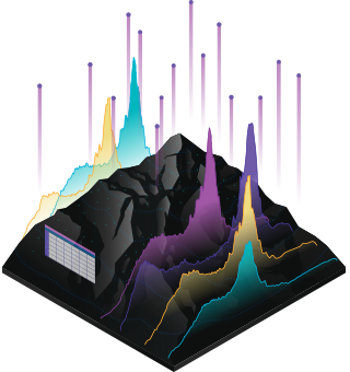
Understand trends
GIS helps you gain insight into data that might be missed in a spreadsheet.
What is GIS:
Hundreds of thousands of organisations in virtually every field are using GIS to make maps that communicate, perform analysis, share information, and solve complex problems around the world. This is changing the way the world works.
Identify problems
Use GIS to illuminate issues that are driven by geography.
Perform forecasting
Use GIS to forecast traffic.
Monitor change
If a picture tells a thousand words, a map tells a thousand pictures.
Set priorities
GIS helps to set priorities based on spatial analysis.
Manage & respond to events
GIS delivers real-time situational awareness.
Understand trends
GIS helps you gain insight into data that might be missed in a spreadsheet.
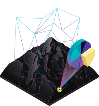
How GIS Works
GIS technology applies geographic science with tools for understanding and collaboration. It helps people reach a common goal: to gain actionable intelligence from all types of data.
How GIS Works
GIS technology applies geographic science with tools for understanding and collaboration. It helps people reach a common goal: to gain actionable intelligence from all types of data.
Maps
Data
Analysis