A Platform for Conservation
Esri’s ArcGIS platform provides the data and analytics you need to execute informed conservation plans. Use authoritative data and sophisticated analytics to understand and better protect any biodiverse environment.
A Platform for Conservation
Esri’s ArcGIS platform provides the data and analytics you need to execute informed conservation plans. Use authoritative data and sophisticated analytics to understand and better protect any biodiverse environment.
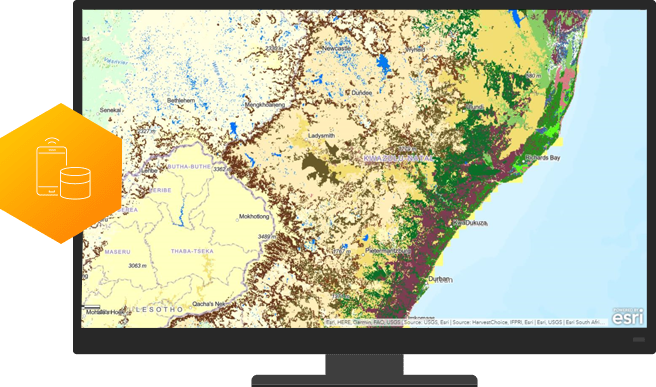
Collect Data
ArcGIS apps help you gather environmental data and respond more quickly to areas in need of remediation. Leverage the ability to observe, measure, and monitor your area of study with more detail and greater precision than you ever thought possible.
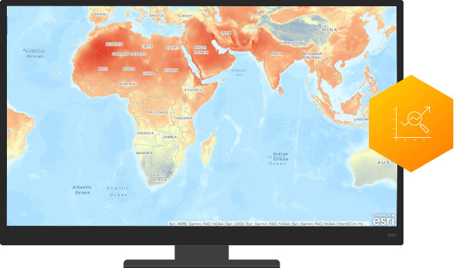
Predict the future
ArcGIS provides the modeling tools to analyse data, visualise patterns, and better understand complex systems. Compare present conditions with the past to make authoritative predictions.
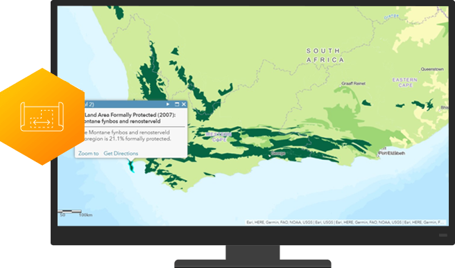
Plan to protect
ArcGIS empowers stakeholders with decision support tools to visualise possible outcomes and share information with all stakeholders. Create a strategic plan to meet your conservation goals faster.
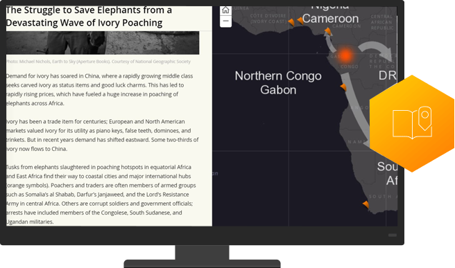
Advocate
With visual platforms like Story Maps, you can tell your conservation story in context with maps and media that describe your cause. Inspire others to understand your cause and take action.
Are you ready to get started?
Begin applying The Science of Where to your mission and increase your impact. Learn about Esri’s Special Programs and how to leverage technology, training, and support.
Are you ready to get started?
Begin applying The Science of Where to your mission and increase your impact. Learn about Esri’s Special Programs and how to leverage technology, training, and support.