ArcGIS Desktop
ArcGIS Desktop is a complete software suite for desktop GIS. With ArcGIS Desktop, you get powerful desktop applications that you can use to create maps, perform spatial analysis, and manage geographic data and imagery. In addition, you can access the entire ArcGIS platform, allowing you to publish geographic content and share it with others.
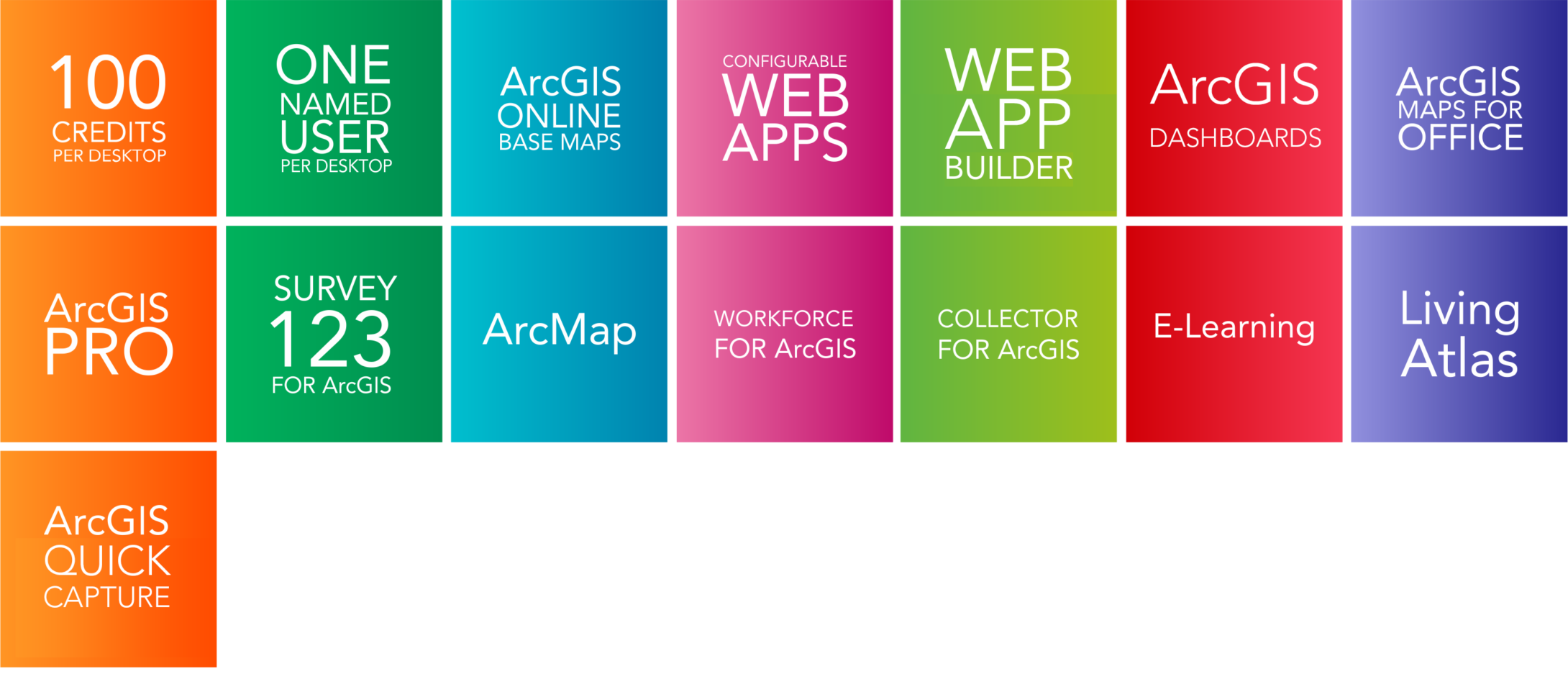
ArcGIS Desktop includes:
ArcGIS Desktop includes:
ArcGIS Pro
ArcMap
With ArcGIS Desktop, you can also access:
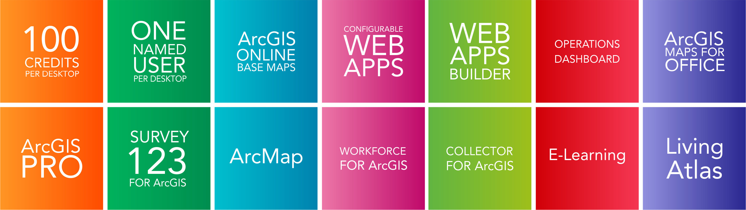
ArcGIS Desktop includes:
ArcGIS Desktop includes:
ArcGIS Pro
ArcMap
With ArcGIS Desktop, you can also access:
Optional Extensions for Adding Advanced Capabilities
You can add more specialised GIS capabilities to ArcGIS Desktop through optional extensions. These extensions provide tools in areas like 3D modeling and analysis, network analysis, spatial analysis, image analysis, geostatistics, workflow management, data quality control, comprehensive data interoperability, and industry-focused workflows.
Advanced Analysis
- ArcGIS 3D Analyst.
- ArcGIS Spatial Analyst.
- ArcGIS Network Analyst.
- ArcGIS Geostatistical Analyst.
- ArcGIS Schematics.
- ArcGIS Tracking Analyst.
- ArcGIS Image Analyst (ArcGIS Pro only).
Data & Workflows
- ArcGIS Data Interoperability.
- ArcGIS Data Reviewer.
- ArcGIS Publisher.
- ArcGIS Workflow Manager.
Industry Focused
- Esri Production Mapping.
- Esri Defense Mapping.
- ArcGIS for Aviation: Airports.
- ArcGIS for Aviation: Charting.
- ArcGIS for Maritime: Bathymetry.
- ArcGIS for Maritime: Charting.
- Esri Roads and Highways.
- ArcGIS Pipeline Referencing.